UN
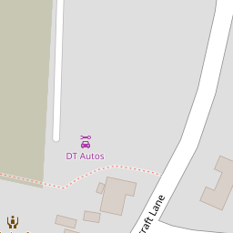
48 Chalcraft Lane
£ 145,000
Description
We don't have a Description for this property.
- Bedrooms
- 2
- Bathrooms
- 0
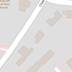
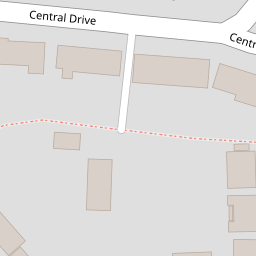

Leaflet © OpenStreetMap contributors
The heatmap indicates the level of crime in the area. The color of the heatmap indicates the crime severity and recency.
Metrics Year-on-Year
- Average area value
- 368,889.00 £Increased by 27.91 %
- Average area rental value
- 1,206.00 £/moDecreased by 10.00 %
- Est rental Yield
- 3.92 %Decreased by 29.75 %
- Crime Rate
- 4.00 %Unchanged by 0.00 %
from 288,392.00 £
from 1,340.00 £/mo
from 5.58 %
from 4.00 %
Nearby Schools
| Name | Type | Ofsted | Distance |
|---|---|---|---|
| Southway Primary School | Academy Sponsor Led | Requires improvement | 0.50 KM |
| The Regis School | Academy Sponsor Led | Good | 0.80 KM |
| Bartons Primary School, Bognor Regis | Community School | Good | 0.87 KM |
| Nyewood Cofe Infant School, Bognor Regis | Voluntary Aided School | Good | 1.10 KM |
| Nyewood Cofe Junior School | Voluntary Aided School | Good | 1.11 KM |
Images
Nearby Streets
| Name | Average Price | Average Sqft | Distance |
|---|---|---|---|
| St Clare’s Gardens | £ 0 | 0 | 0.00 KM |
| Suffolk Gardens | £ 0 | 0 | 0.00 KM |
| Herdwick Lane | £ 425,000 | 0 | 0.00 KM |
| Holland Close | £ 0 | 0 | 0.00 KM |
| Hampton Court | £ 0 | 0 | 0.00 KM |
Nearby Transport
| Name | NLC | TLC | Distance |
|---|---|---|---|
| Bognor Regis | 5253 | BOG | 2.60 KM |
| Barnham | 5252 | BAA | 7.28 KM |
Nearby Listings
| Address | Price | Type | Score | Distance |
|---|---|---|---|---|
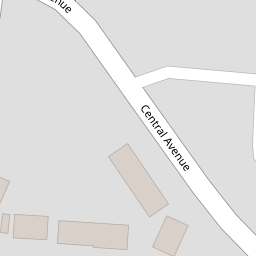
| Central Avenue, North Bersted, Bognor Regis, PO21 | £ 285,000 | BUY | 7 / 10 | 0.11 KM |
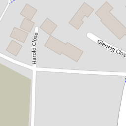
| Harold Close, North Bersted, Bognor Regis, West Sussex, PO21 5UL | £ 425,000 | BUY | 6 / 10 | 0.12 KM |
| Bedford Avenue, Bognor Regis | £ 320,000 | BUY | 7 / 10 | 0.18 KM |
| Chalcraft Lane, North Bersted, West Sussex, PO21 5TS | £ 600,000 | BUY | 7 / 10 | 0.19 KM |
| Chalcraft Lane, North Bersted, West Sussex. PO21 5TS | £ 537,500 | BUY | 7 / 10 | 0.19 KM |
Nearby Properties
| Address | Price | Distance |
|---|---|---|
| 48 Chalcraft Lane | £ 145,000 | 0.00 KM |
| 58 Chalcraft Lane | £ 215,000 | 0.00 KM |
| 67 Central Avenue | £ 190,000 | 0.10 KM |
| 65 Central Avenue | £ 175,000 | 0.10 KM |
| 5 Central Drive | £ 200,000 | 0.11 KM |